This post contains Amazon Affiliate links for which I may receive compensation.
The history of cartography is intimately linked to the exploration of new worlds. So when we are interested in one, we are necessarily interested in the other. And of course, when we talk about discoveries of the new worlds, we talk about trade in spices, pigments, and colors.
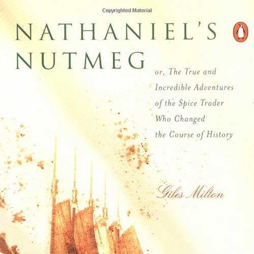
Here is a book on the saga between two great nations, the Netherlands and Great Britain, to control the nutmeg trade during the 16th and 17th centuries. It is a fascinating story of maritime expeditions, wars, and the development of trading posts. All this for a three-kilometer-long island, the island of Run (now in Indonesia) which was at the time the only place in the world where nutmeg trees grew.
This book is a mine of information not only on the Spice Islands and the trade in nutmeg and other spices in the 17th century, but also on the expeditions of the two East India Companies (Dutch and English) during this period, and even on adventures to the west (ex: Hudson) to discover the northeast or northwest passage.
Finally, the writing style of this book is not the journalistic style of a historical account like “The Island at the Center of the World” (the history of Manhattan from the time when it was Dutch) but rather a very factual style. Besides, there is so much information that you can’t retain it all or write it all down. To remember it all, one would need to create a deck of filing cards with the name of every person, every place, and every expedition with their respective dates.
This is a book certainly worth rereading and one that makes you want to explore this region of Southeast Asia, Indonesia and its 17,000 islands (with Java, Sumatra, Bali, and the Spice Islands), Malaysia, the Philippines, and more.


