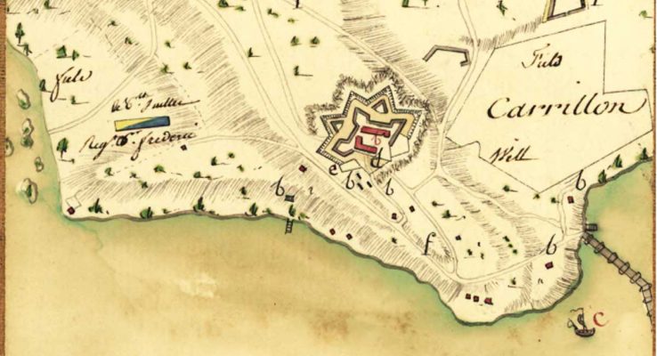
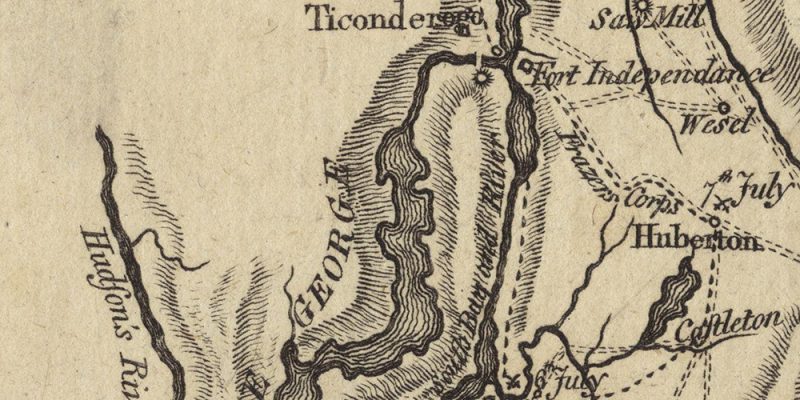
The role of maps
From atlases or world maps, maps of great explorers, maritime maps to 16th century’s court exhibits, from fortifications and major architectural works maps to city plans, the men of the 16th-18th centuries drew maps which we are still admire. They are testimonies of their adventures and their talents.
I share the articles or books I have read here, as well as the experiments that I make, to reproduce these past centuries’ techniques.

 Français