Author Archives: Christine
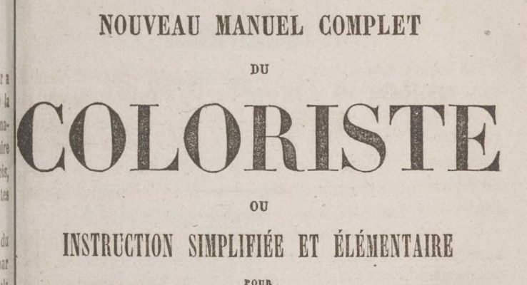
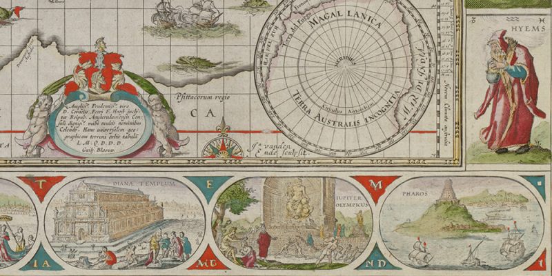
Colors in 17th and 18th centuries’ maps
What were the pigments and colors used in hand-made or printed and color-enhanced maps 17th [...]
Jun
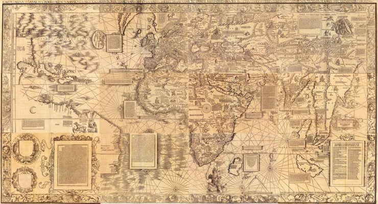
Carta Marina 1516 : A New Approach to Mapmaking
"For his 1516 "Carta Marina" world map, the German cartographer Martin Waldseemüller completely changed his [...]
May
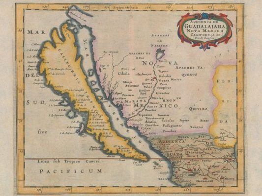
Maps: La California as an island
Over 40 years, Glen McLaughlin, a Californian venture capitalist, bought nearly 800 maps showing California [...]
May
Marquis de Lafayette’s Cartographer
Michel Capitaine du Chesnoy, the Marquis de Lafayette’s cartographer, produced gorgeous watercolor maps of the [...]
May

Defining Lines: Cartography in the Age of Empire
"Defining Lines: Cartography in the Age of Empire" was a student-curated exhibit at the Nasher [...]
Jan
An Exhibit Explores Art in the Margins of Maps
This exhibition presents the artistic elements of some fifty maps from the 13th to the [...]
Jan

Mapping Our World: Terra Incognita to Australia
An exhibit which presents more than 100 maps, atlases, and globes featuring Australia from Terra [...]
Jan
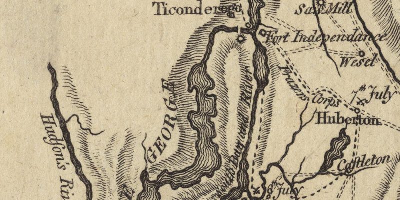
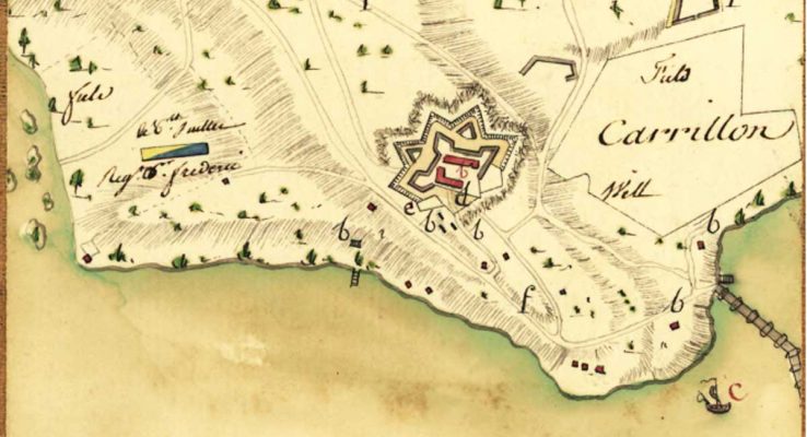
Old Maps of Lake Champlain
I am particularly interested in old maps from the Lake Champlain Region, as I researched [...]
Jan

 Français