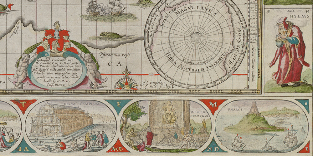
What were the pigments and colors used in hand-made or printed and color-enhanced maps 17th and 18th centuries’ maps?
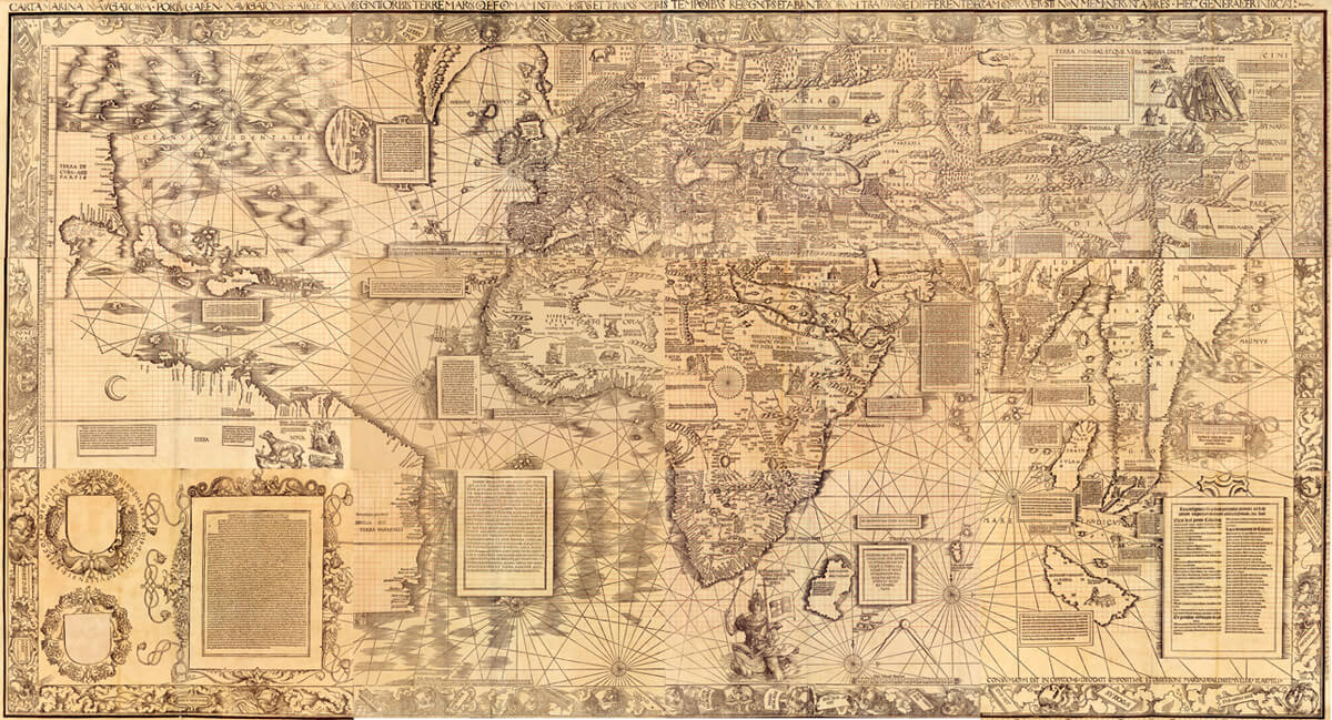
“For his 1516 “Carta Marina” world map, the German cartographer Martin Waldseemüller completely changed his approach to mapmaking, compared to his famous 1507 world map” scholar Chet Van Duzer explains in a fascinating conference.
Over 40 years, Glen McLaughlin, a Californian venture capitalist, bought nearly 800 maps showing California as an island, making it the largest privately-held collection known on the topic!
Michel Capitaine du Chesnoy, the Marquis de Lafayette’s cartographer, produced gorgeous watercolor maps of the military campaigns of La Fayette during the American Revolution.
“Defining Lines: Cartography in the Age of Empire” was a student-curated exhibit at the Nasher Museum of Art at Duke University, NC, from September 19 to December 15, 2013. It displayed maps from the David M. Rubenstein Rare Book & Manuscript Library from the 16th to 20th centuries.
This exhibition presents the artistic elements of some fifty maps from the 13th to the 20th century
An exhibit which presents more than 100 maps, atlases, and globes featuring Australia from Terra Incognita to a well-cartographed country, some of the greatest works from the collection of several worldwide libraries
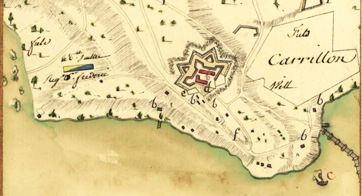
I am particularly interested in old maps from the Lake Champlain Region, as I researched its history when it was part of New France. It has led me to search for maps of the region. In my quest, I recently discovered this map in a Wikipedia article. It is a map part of a collection […]

